Infipoints

Empowering engineering with infinite point cloud


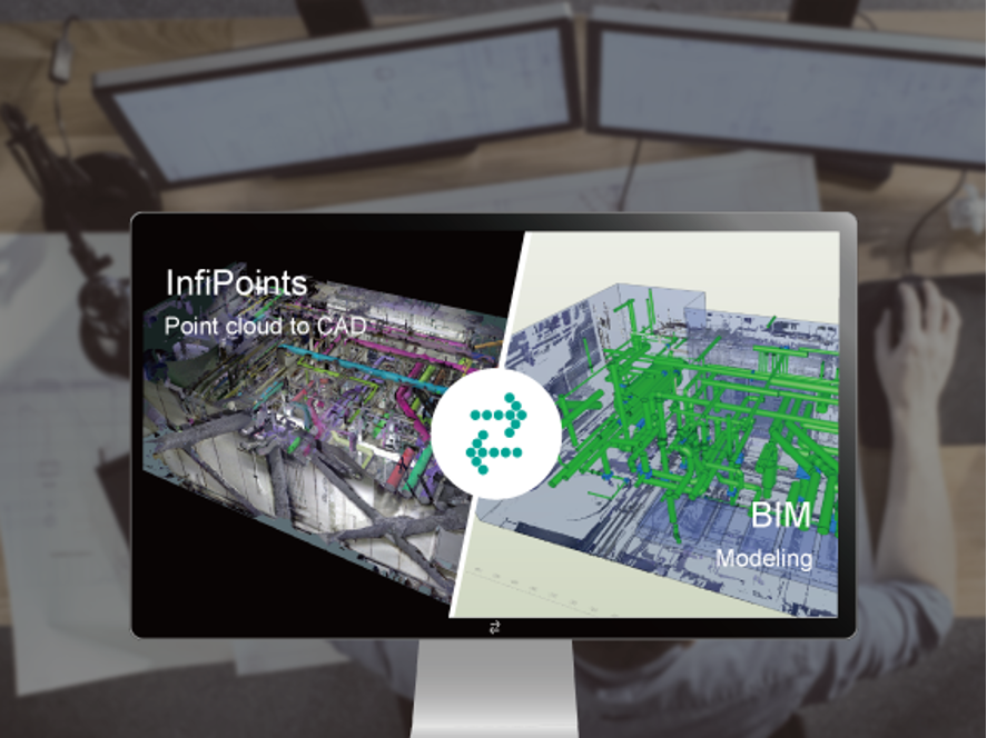
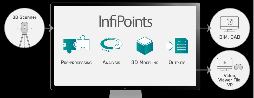
Infipoints capability is import point cloud data from 3D laser scanning without size limitations and view and edit with high performance without being influenced by the data size.

It has function with easily and quickly pre-process point cloud data from 3D laser scanning—registers multiple shots automatically, removes all kinds of noise automatically and more. To analyze utilizing point cloud data and CAD data—plan carry in or out routes of equipment, compare concept plans versus post-construction state.

Dramatically streamlines the process to plan and prepare for the actual operations—saves the time and work to obtain CAD data of existing structures and replaces on-site measurements with 3D measurements on a computer

Benefit:
• Easier Utilization of Point Cloud Data
• Reducing Time for Data Preparation
• Smoothly Work in a Large-Scale Environment
• Easier Utilization of Point Cloud Data
• Reducing Time for Data Preparation
• Smoothly Work in a Large-Scale Environment